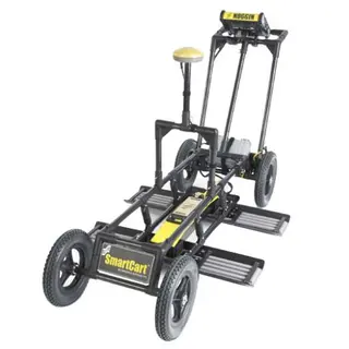
Ground Penetrating Radar

Compare GPR systems for utility locating and subsurface investigation. Choose the field views, recording and mapping workflow you need, then compare the exact supplied equipment. LMX systems sit alongside the other radar equipment in this range.
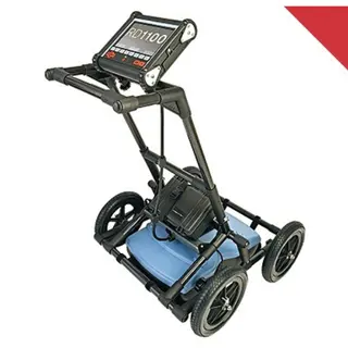
Price
–
Availability
Manufacturer
Condition
IP Rating
42 Items

Compare the workflow, then the offer

Choosing a GPR system

Choose by the investigation, the information you need in the field and the records required afterwards. A complete cart system, a sensor or a configuration offer may have different supplied equipment.

Start with the site and task

Utility locating and concrete investigation are different applications. Ground conditions, the target and access determine whether the proposed radar method is suitable. Compare the relevant systems in the grid rather than choosing on a headline depth alone.
Separate locating from positioning

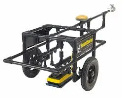
Radar data helps an operator investigate subsurface responses. GNSS associates records with coordinates. A positioning specification does not establish the accuracy of a target interpretation or make an undetected service visible.

LMX utility-locating workflows
RangeSelection focusCurrent offers
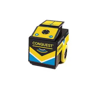
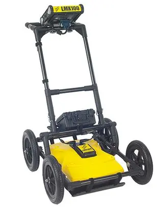
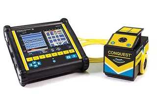
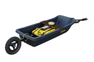
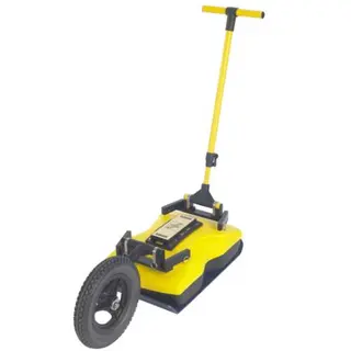
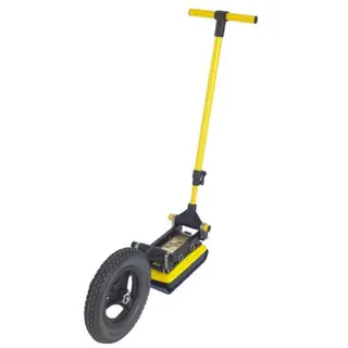
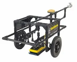
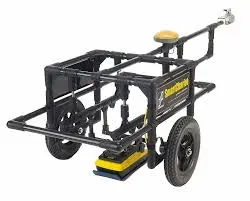
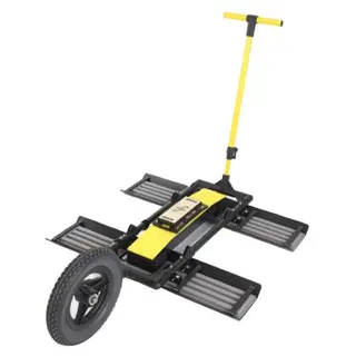
LMX100Locate-and-mark work with cross-section views and saved screenshotsLMX100 system
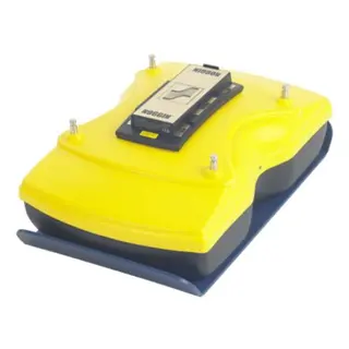
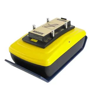
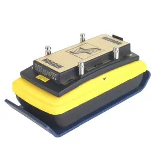
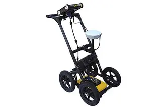
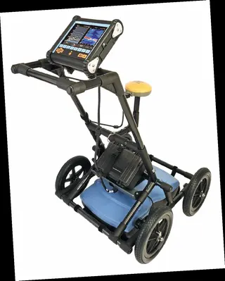
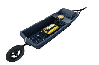
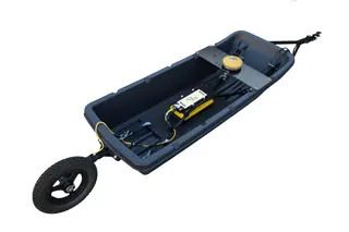
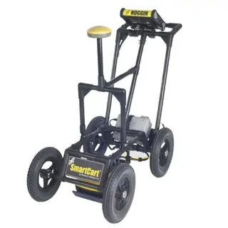
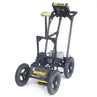
LMX150 FINDARA compact utility-locating system with recorded lines, grids and depth-slice workflows; consider it for smaller, shallower targets where site conditions permitLMX150 FINDAR system
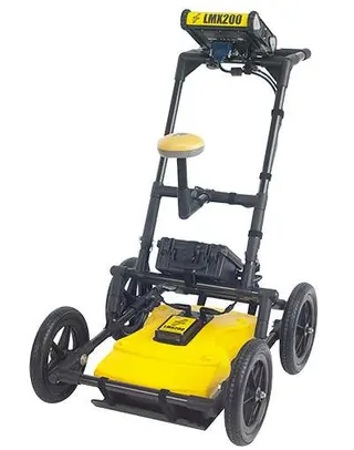
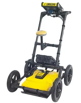
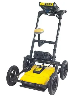
LMX200Utility-locating work requiring recorded lines and grids, field mapping views and project-data workflowsLMX200 Enhanced system
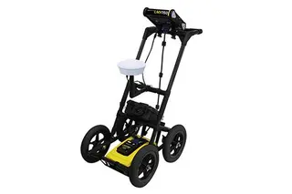
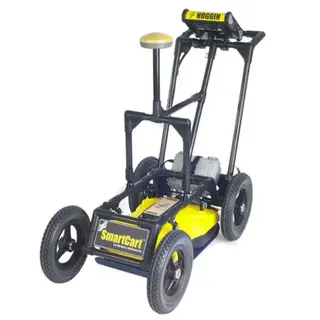
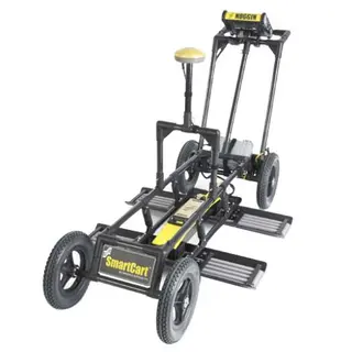
SG configurationsLMX150 or LMX200 configurations supplied with the named GNSS packageLMX150SG or LMX200SG
SG with RTKThe relevant system and GNSS upgrade for a supported correction-service workflow; corrections and setup are separate considerationsLMX150SG with RTK or LMX200SG with RTK

Compare supplied contents and selected options

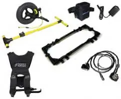
The system’s itemised contents establish what is supplied. A GNSS package, transport case and reporting licence are different items; do not infer them from a family photograph or another bundle’s name.

Software is separately priced on the current base LMX150 FINDAR and LMX200 Enhanced offers. The selected software option determines the licence supplied.

Build the supporting setup

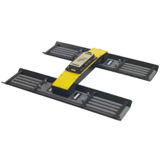
Match power equipment, displays, cables and protective parts to the exact model and generation. The LMX100/200 and LMX150 FINDAR have distinct skid-plate and transit-case products.

Use LMX accessory selection to find the relevant type of part.

GPR system buying questions

How do LMX100, LMX150 FINDAR and LMX200 differ?

LMX100 centres on locate-and-mark work and screenshots. LMX150 FINDAR and LMX200 add recorded-line, grid and project-data workflows. Compare the field views, output requirements, physical setup and supplied configuration for your job.

What does SG mean on these LMX offers?

The named SG offers add the specified GNSS positioning package to the corresponding radar system. Read the exact package contents and positioning workflow rather than assuming all LMX systems include external GNSS.

Is an RTK correction-service subscription included?

The manufacturer’s GNSS specification states that correction-service subscriptions are not included. A supported service and its configuration are required for the relevant RTK workflow; available services and charges depend on the provider and region.

Is reporting software included with every system?

No. Available exports and software requirements vary. Software is a separately paid option on the current base LMX150 FINDAR and LMX200 Enhanced offers. Compare the selected licence with the analysis and reporting work you need to carry out.

Does a depth specification guarantee detection?

No. Useful penetration and a detectable target response depend on the ground, equipment, target and survey. An on-screen depth setting or positioning figure is not a guarantee that a service will be found or permission to excavate mechanically to that depth.

Can GPR prove that the ground is clear?

No. Use the equipment within the site’s investigation and safe-working process, alongside service information, other appropriate locating methods and verification. A missing response is not proof that no buried service is present.

Continue choosing your equipment

Browse GPR accessories for supporting equipment, or return to the wider GPR range.