
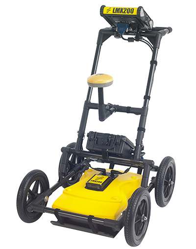
Radiodetection LMX200SG RTK | Precision GPR | 1cm RMS GNSS Mapping
What's in the Box
- LMX200 Enhanced GPR cart with 500MHz antenna, control unit, and internal GPS module
- Pre-configured Geode GNSS receiver (multi-frequency RTK upgrade)
- Custom noise-suppressing power cable for GPR battery integration
- RTK antenna, NTRIP/satellite connectivity accessories, and mounting kit
- Configuration guide and protective shipping case
The Radiodetection LMX200SG RTK represents the pinnacle of subsurface utility engineering, combining the advanced detection capabilities of the LMX series with integrated RTK-enabled GNSS. By leveraging the patented DynaT 250MHz ultra-wideband antenna, this system provides high-resolution data for both shallow and deep targets while maintaining 1cm RMS accuracy for georeferencing. Its lightweight, metal-free fiberglass cart ensures zero signal interference, allowing for precise detection of non-conductive utilities, storage tanks, and structural features across diverse environments.
How does RTK integration enhance utility mapping?
The integrated RTK system delivers 1cm RMS accuracy by utilizing NTRIP, ATLAS, or ground-based corrections to eliminate the need for manual post-processing of location data. This enables the immediate generation of georeferenced reports and KMZ/CSV exports that are ready for seamless integration into GIS or CAD software.
What subsurface targets can the DynaT 250MHz antenna detect?
The patented ultra-wideband sensor is engineered for dynamic targets, reaching a maximum depth of 8 meters depending on soil conditions. It is specifically designed to locate non-conductive materials such as plastic pipes, concrete storm systems, and underground storage tanks that traditional electromagnetic locators cannot detect.
How does the LMX200SG handle data management and reporting?
The system features a high-visibility touch screen with built-in Wi-Fi, allowing operators to send instant, detailed reports directly from the field. With internal storage for up to 380 km of data and a high-speed USB port, transferring complex scans for 3D visualization is streamlined and efficient.
| Antenna Frequency | 250 MHz (DynaT Ultra-Wideband) |
| Positioning Accuracy | 1cm RMS with RTK GNSS |
| Maximum Detection Depth | 8 Meters |
| Data Storage Capacity | 380 Kilometers |
| Operating Temperature | -40°C to +50°C |
| System Weight | 22 kg |
| Dimensions | 100 x 70 x 115 cm |
| Environmental Rating | IP65 |
| Battery Life | 4 to 6 Hours (Swappable Gel Cell) |
Compatible Accessories & Software
- Analyze and visualize data in 3D using the EKKO_Project V6 Core Software Bundle.
- Ensure safe transport with the Radiodetection LMX100/200 ATA Shipping Case.
- Enhance mobility on rough terrain with the Radiodetection Large Wheel Set.
- Protect your equipment from wear with a Skid Plate Replacement.
- Maintain operational readiness with the LMX Spare Parts Kit.
✦ Related Products
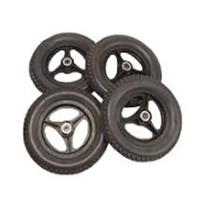
Radiodetection Large Wheel Set (12.5"x2.25") | LMX100/200 GPR Mobility Upgrade
£565.85
Radiodetection LMX150 FINDAR GPR | High-Resolution Subsurface Mapping | 3m Detection Depth
£12,865.50
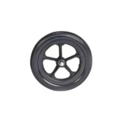
Radiodetection Standard Wheel (x1) | 12.5" x 1.75" | LMX GPR Universal Compatibility
£61.47
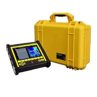
Radiodetection Deluxe DVL-500 Carrying Case | Display Protection | Custom Padded Hard Case
£387.07
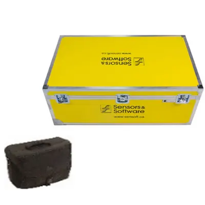
Radiodetection LMX100/200 ATA Shipping Case | GPR Protection | Custom Display Bag
£1,022.56
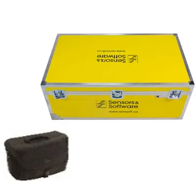
Radiodetection LMX150 FINDAR ATA Shipping Case | Rugged Transit Protection | ATA Compliant
£1,022.56