
New Radiodetection RD8200SG mapping Locator Kit
Read the transcript
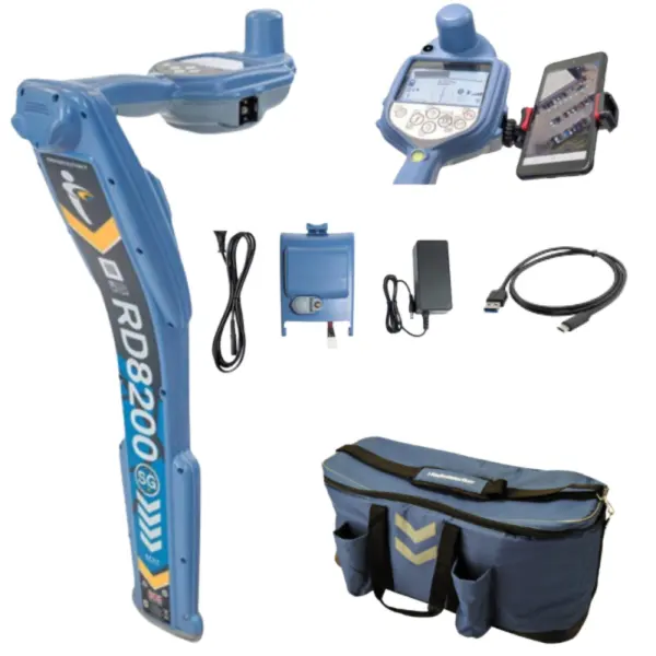
New Radiodetection RD8200SG mapping kit with integrated survey-grade GNSS. The package includes the phone holder, USB-C lead, receiver lithium-ion pack, mains charger with lead and soft bag. A transmitter is optional at extra cost. A compatible phone, mapping app, corrections, data connectivity and suitable satellite reception are required for the mapping workflow. Positioning accuracy is separate from utility locating accuracy. Follow a complete locating and safe excavation procedure.
New RD8200SG mapping kit with phone holder, USB-C lead, receiver Li-ion pack, mains charger and soft bag. Integrated survey-grade GNSS supports mapping with a compatible app and corrections. Transmitter optional at extra cost.
What's in the Box
- RD8200SG receiver.
- Phone holder.
- USB-C lead.
- Li-ion rechargeable battery pack.
- Mains charger with mains lead.
- Soft carry bag.
Transmitter optional at extra cost. Phone, mapping app and correction subscription are separate.
Locate utilities and collect survey-grade positions
Combine precision cable and pipe locating with integrated survey-grade GNSS in one receiver.
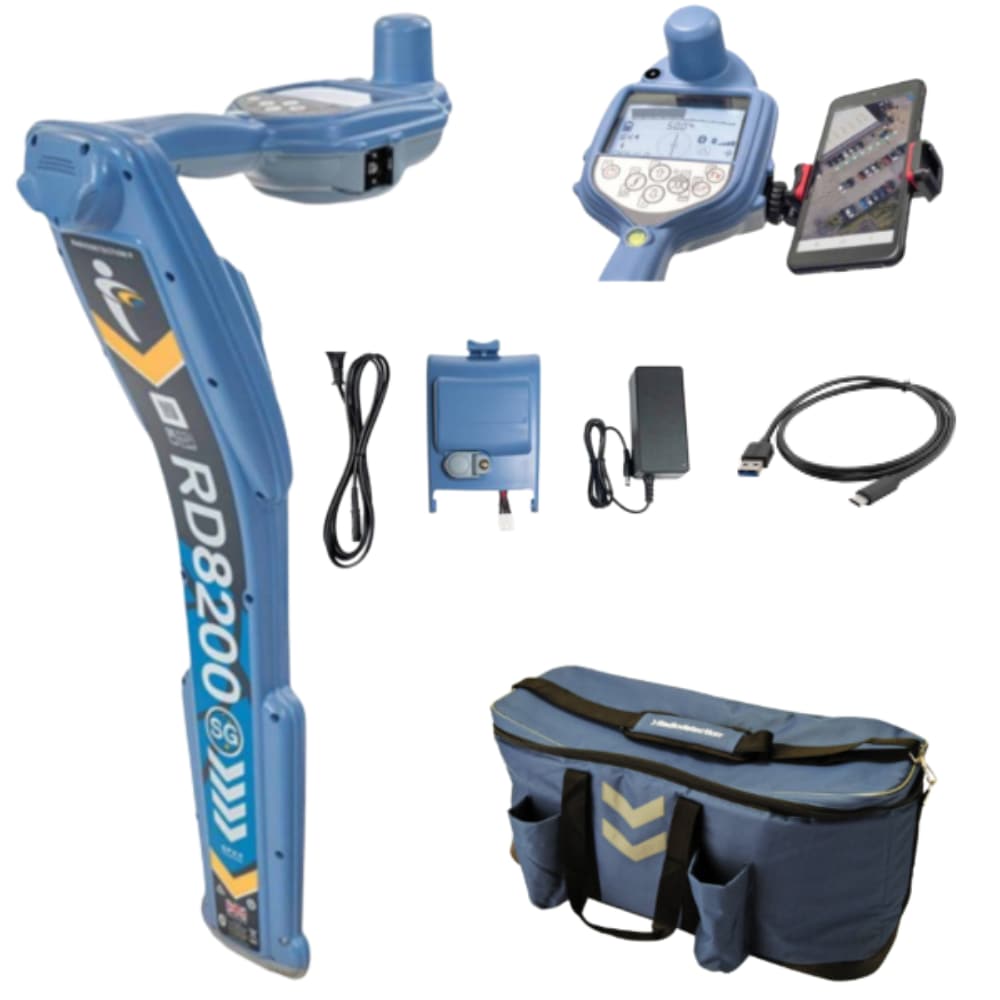
The integrated GNSS antenna and automatic ground offset simplify utility point collection. Use a compatible mapping app and correction service to record positions as part of your locating workflow.
Mapping package and paid transmitter choice
The base package contains the RD8200SG receiver, phone holder, USB-C lead, Li-ion battery pack, mains charger with lead and soft carry bag. The transmitter selection is separate and paid. A compatible phone, mapping app, data connection and any required correction subscription are separate requirements.
Locating, GPS logging or integrated mapping
RD7200 covers general utility locating with eight active frequencies. RD8200 adds broader frequency choice and Current Direction. RD8200G adds built-in GPS usage logging. RD8200SG integrates survey-grade GNSS. GPS usage records and corrected RTK positioning serve different purposes.
What survey-grade positioning requires
The manufacturer specifies RTK position accuracy of 0.01 m + 1 ppm CEP under its stated conditions. Achievable positioning depends on corrections, satellite visibility, geometry and site conditions. GNSS positioning accuracy is separate from the accuracy of locating the buried service.
Apply and receive the right signal
For active tracing, transmitter and receiver must use a supported common frequency. Tx5 provides signal application and fault-finding signals; Tx10 and Tx10B also support Current Direction with a CD-capable receiver.
A 100 mm transmitter clamp applies a signal to a suitable cable. A 100 mm locator clamp receives the response to help investigate individual utilities. These clamps connect to different instruments. The direct-connection kit brings together the listed signal-connection accessories.
Fault finding and field accessories
For cable-sheath or pipeline-coating fault investigations, use the A-Frame with lead with a receiver and transmitter that both support Fault Find. It is a separate accessory unless itemised as included. The soft locator/transmitter bag keeps compatible equipment together in transit.
Use readings as part of a safe locating method
A locator detects electromagnetic responses. A silent or inconsistent reading does not prove that an area has no buried services. Compare signal behaviour, use the appropriate methods and follow your safe excavation procedure. Depth estimates do not establish that mechanical excavation is safe.
Questions about this offer
Is a transmitter included?
No. A transmitter is a separate purchase or the paid selection shown in the options.
What is needed for RTK mapping?
A suitable correction service, supported app, compatible phone or tablet and data connectivity, with suitable satellite reception. RTK accuracy depends on the manufacturer’s measurement conditions.
Is a correction subscription included?
A compatible mapping app, correction subscription and data connection are separate requirements.
RD8200SG locating and mapping
Radiodetection demonstrates the RD8200SG mapping workflow. A compatible app and correction service are required; supplied equipment is listed in the box contents above.
Watch on YouTube · Radiodetection