
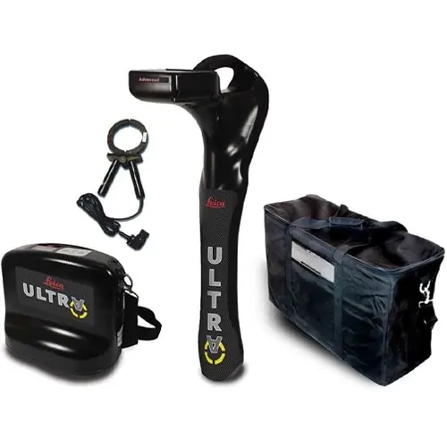
Leica Ultra Utility Locating System 12 Watt Advanced | Precision Mapping | IP65 Durability
What's in the Box
Ultra Utility Locating System 12 Watt Advanced
Consists of:
- 1x Ultra Advanced locator
- 1x 12 Watt Advanced transmitter
- 1x 125mm signal clamp
- 1x System bag
The Leica Ultra Utility Locating System 12 Watt Advanced is a comprehensive solution engineered for the most demanding professional environments. Utilizing a 12-Watt transmitter and the Leica ULTRA Locator - Standard, this system provides the signal strength and precision required for deep tracing and accurate mapping of complex utility networks. Its rugged IP65-rated construction ensures resilience against water ingress, dust, and mechanical shocks on-site.
How does the AIM system improve locating accuracy?
The Ambient Interference Measurement (AIM) technology actively monitors the surrounding environment for electromagnetic noise and recommends the optimal frequency for detection. By selecting from over 100 selectable frequencies, operators can bypass site-specific interference to maintain signal integrity in crowded utility corridors.
What are the benefits of the 12-Watt transmitter and remote connectivity?
The 12-Watt high-output transmitter delivers superior signal penetration for long-distance tracing and deep burial detection. Integrated remote control connectivity allows the user to adjust transmitter settings directly from the receiver unit, maximizing field productivity by reducing travel between points.
How is the captured data utilized for utility mapping?
Integrated Bluetooth® connectivity enables real-time data transfer, while the device features internal data logging for recording precise GPS coordinates. This data is compatible with GIS systems and Google Maps, supporting the creation of high-fidelity digital records for future maintenance and surveying.
Technical Specification Table
| Transmitter Output | 12-Watt |
| Frequency Range | 100+ Selectable Frequencies |
| Environmental Rating | IP65 (Dust and Water Resistant) |
| Connectivity | Bluetooth®, Data Logging, Remote Control Link |
| Standard Components | ULTRA Locator, 12W Transmitter, 125mm Clamp, System Bag |
| Interface | High-contrast LCD screen with built-in compass |
Compatible Accessories
- Leica ULTRA Locator - Standard: The primary receiver unit for intelligent signal processing.
- Leica ULTRA System Signal Transmitter: The high-output 12W version for long-distance tracing.
- Leica ULTRA System Multi Clamp: Specialized clamp for inducing signals on larger utilities.
- Leica System Carry Bag: Ruggedized transport solution for the complete locating kit.
- Leica Mini Sonde 33kHz: Essential for locating non-metallic conduits and pipes.
✦ Related Products
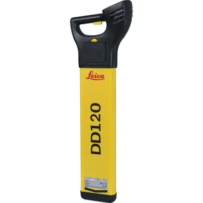
Leica DD120 Locator | Utility Detection | Advanced Hazard Zone Safety
£602.70
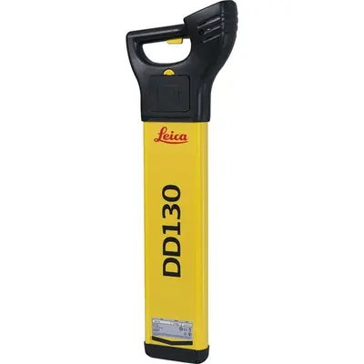
Leica DD130 Underground Utility Locator (Discontinued)
£683.55
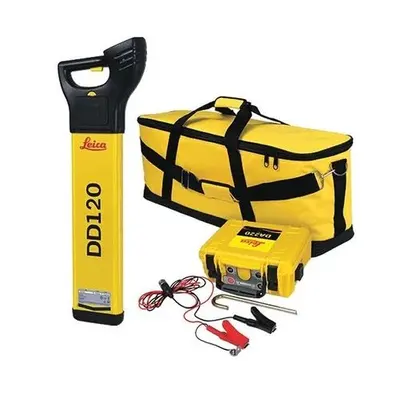
Leica Detect DD120 Depth Package | Utility Locator Kit | Enhanced Depth Precision
£1,120.88
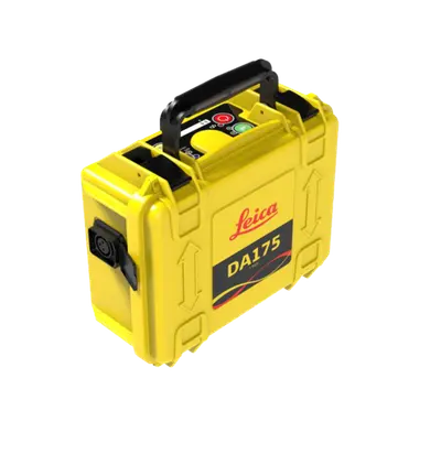
Leica DA175 1 Watt Signal Transmitter | Versatile Multi-Frequency Utility Injection
£477.75
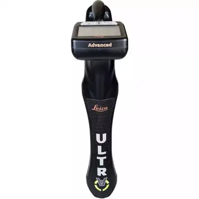
Leica ULTRA Locator - Standard | Precision Utility Mapping | IP65 Bluetooth Surveying
£1,785.00
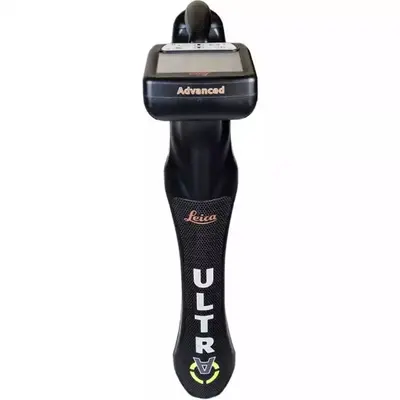
Leica ULTRA Locator - Advanced | Precision Utility Mapping | >100 Selectable Frequencies
£2,422.50