
Site Surveying: Precision and Alignment Guide (2026)
Accurate setting-out rests on three tools used for different jobs: a laser level for transferring level and grade across a site, a total station for precise angles and distances when setting out points, and GNSS (GPS) for positioning over larger areas. Choosing the right instrument, and checking its calibration, is what keeps a build true from foundations to finish.
Precision on site is not one instrument; it is matching the tool to the task and trusting it because you have checked it. Here is how the three fit together.
Laser levels: transferring level and grade
A laser level establishes a perfectly level (or sloped) reference across a site so everything can be set to the same datum. Rotary lasers sweep a 360-degree plane for general construction and groundworks; line lasers project fixed lines for interior fit-out and alignment. Beam colour and conditions matter: green beams are far easier to see, especially indoors. We compare the options in rotary vs line lasers and green vs red beams.
Total stations: precise points and angles
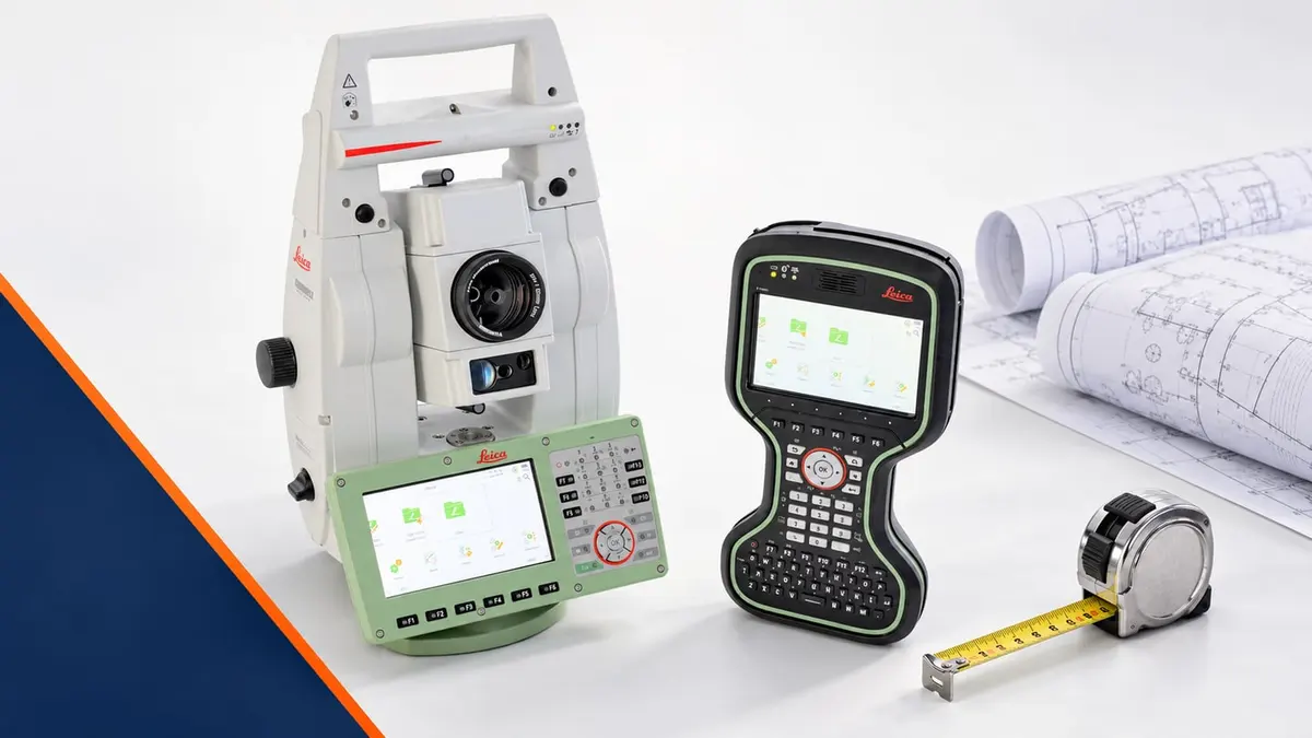
When you need to set out specific points to millimetre accuracy, a total station measures angles and distances from a known position to place or check points exactly. Manual instruments need a two-person crew; robotic total stations let one surveyor control the instrument remotely and work alone. The trade-offs are in manual vs robotic total stations.
GNSS: positioning over distance
GNSS (GPS) receivers fix position using satellites, which makes them ideal for setting out and surveying over larger or open sites where line-of-sight to a total station is impractical. Modern RTK GNSS delivers centimetre accuracy in the right conditions, and pairs well with a total station for detail work where satellite signal is poor.
Which instrument for which job?
| Task | Right tool |
|---|---|
| Transferring level/grade across a site | Rotary laser level |
| Interior alignment and fit-out | Line laser (green beam) |
| Setting out precise points | Total station |
| Positioning over large/open areas | GNSS / RTK GPS |
Accuracy you can trust means checking the kit
An instrument is only as good as its last check. A laser level should pass a two-peg test before important work, and heat can quietly throw a laser off, as we explain in thermal drift. Total stations and GNSS need periodic calibration too. Build a habit of checking before you rely on a reading.
Buy or hire?
For regular surveying, owning the right instruments pays back fast. For one-off projects or peak workload, laser and survey hire and survey and GPS hire give you calibrated kit on demand. Browse the full survey equipment range to match the tool to your work.